
Trace the San Antonio Street Directory
Address records answer different questions. BCAD and the Bexar parcel layer identify an appraisal parcel and its public fields. The County Clerk index follows recorded instruments. The voter form checks one registration only, and older directory material can place a person or business at a numbered address in a particular edition. None is a complete street roster. Keep the address exactly as printed, including directional prefix or suffix, street type, unit, ZIP, and a former name when one appears in an old record.
- Find the present parcel in BCAD Map Search. Record the situs, property or account identifier, legal description, owner field, mailing field, neighborhood, and visible geometry.
- Open the Bexar parcel layer to inspect the polygon and nearby parcels. A parcel owner is an appraisal field, not proof of occupancy.
- Use the legal description, address, current owner name, or instrument information in the County Clerk’s Advanced Search. Start with the current grantee and move backward through a prior grantor.
- For a lawful individual registration question, use the Bexar Voter Registration Search with date of birth, house number, and last name. It has no street-wide query or export.
- For an earlier address, compare the edition year in city directories and Blue Book or Cole criss-cross material with maps, deeds, and the date of the instrument.
That chain keeps ownership, address history, and registration separate. It also preserves a fallback when the public web result is incomplete: the Clerk counter, a defined records request, and local-history collections can each provide a different next step.
Read the San Antonio Street Grid
San Antonio address normalization matters before any street directory search. The City property-address route assigns addresses inside city limits, and the local grid uses directional fields. Under Chapter 29, Commerce Street divides north and south while the San Antonio River divides east and west. Odd numbers fall on the north or west side; even numbers fall on the south or east side. The first block begins at 100, and the city assigns addresses in four-number increments at its stated cadence.
The City property-address page is the authority path for city-assigned addresses. In the Bexar County extra-territorial jurisdiction, CPS Energy issues the address instead. A city address and a postal label can therefore point to different geographic systems. Save directional letters and street type rather than reducing an address to a bare street name.
Note: A result that fails under a shortened address may reappear when its directional field, street type, or former name is restored.
Search San Antonio Streets in BCAD
BCAD Map Search is the present-day starting point for a San Antonio street directory trail. Its Text Search accepts all or part of a person or business name, a property street address, or a street name. The map also offers neighborhood, subdivision, Mapsco, and radius controls. Results are capped at 1,000 rows, so a broad street name needs a narrower house range, neighborhood, subdivision, or visible map area before results are treated as a defined set.
The BCAD map interface shows the controls captured below. The property-search endpoint was available at the recorded URL but returned a browser error during research, so the map and parcel REST layer are documented alternatives when it does not load.
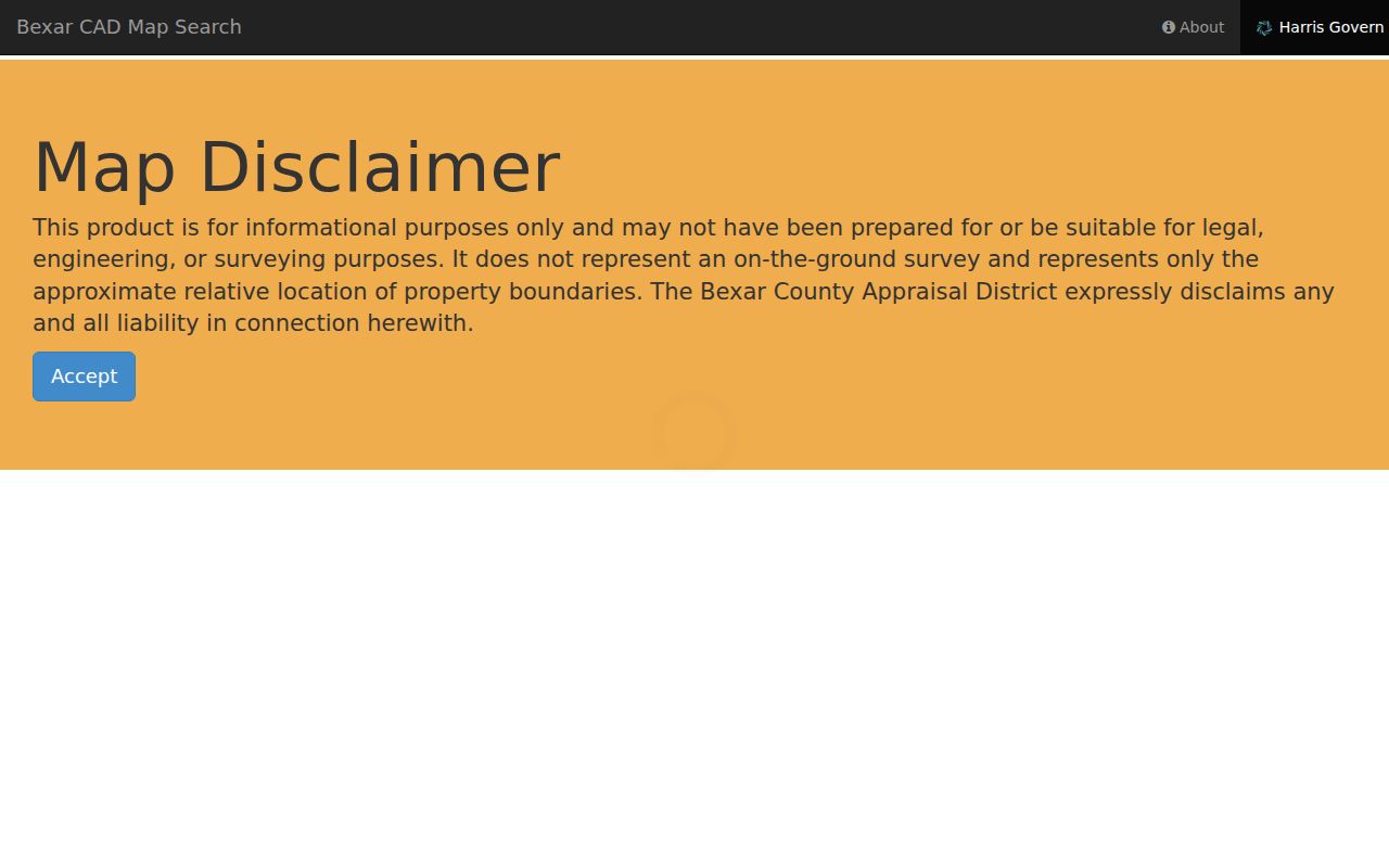
The image shows why an address search should be narrowed before export: map view, table view, analysis controls, and result export are separate parts of the BCAD workflow.
| BCAD map field | Input | Required | Documented use |
|---|---|---|---|
| Property Account Number Search | Text | No | Positive Property ID, up to 10 digits |
| Text Search | Text | No | Whole or partial name, address, or street name |
| Neighborhood | Dropdown | No | Select a neighborhood, then search |
| Sub-Division | Dropdown | No | Select a subdivision, then search |
| Mapsco | Text | No | Mapsco reference with Search or Clear |
| Radius Search | Control | No | Enable or reset a radius |
| Analyze Map Data | Panel | No | Choose neighborhood, subdivision, search term, or data point |
| Export | Button | No | Exports search results after the analysis |
Separate San Antonio Parcel Fields
The Bexar GIS parcel service is a polygon layer, so it adds the street-edge context that an ordinary results list may miss. Its display field is Situs, and returned attributes include PropID, AcctNumb, owner, three mailing-address lines, legal description, values, neighborhood, year built, ZIP, and shape. Parcel data is an appraisal snapshot with an annual update after final appraisal, generally in September or October. It is not a deed-history feed.
See the Bexar GIS parcel layer before deciding which record to pursue. The geometry can identify touching or nearby parcels, but a mailing address may differ from the physical location. That distinction helps prevent a street-directory search from confusing a mailing contact with a person at the site.
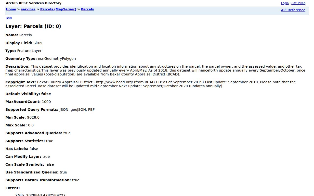
The parcel-layer view makes the field split visible: site location, ownership and mailing attributes, legal description, and polygon geometry each play a separate role.
- Parcel
- A mapped property unit represented by a polygon and an identifier such as a property or account ID.
- Situs address
- The parcel’s physical location field, distinct from its owner or mailing fields.
- Plat
- A recorded map that can identify lots, blocks, streets, and other legal-location detail.
- Criss-cross directory
- An address-first arrangement that can turn a house number and street into a historical name or phone lead.
Follow San Antonio Street Deeds
The County Clerk is the recorder for the street’s legal trail. Its public portal is free to search and view, and uncertified copies can be printed according to the county’s information page. Select the department first. Land Records is the default, while Plats, historical land series, and other departments have separate selections. A search index is not the same as a certified copy, and available images or copy handling can vary by collection and account status.
The County Clerk Advanced Search supports party names, grantor, grantee, recorded and instrument dates, document type and number, book-volume-page, lot, block, NCB, county block, legal description, property address, and document-image wording. Retain the instrument number and recorded date. For a prior owner trail, a current grantee can become the later search’s grantor, with legal description and dates used to avoid unrelated same-name results.
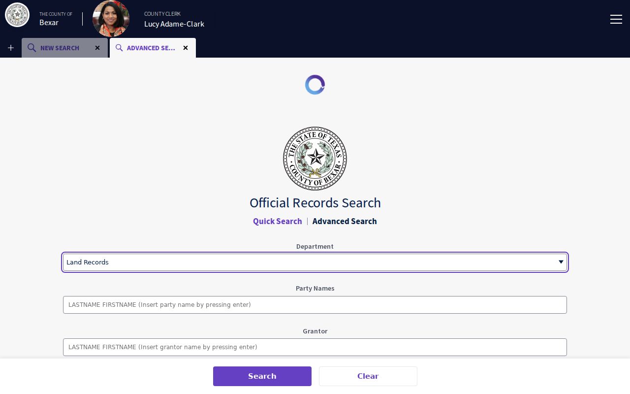
The advanced screen places party, date, legal-location, address, and image-text fields in one route, which is useful when a street name alone is too broad.
When an image is missing or a certified copy is needed, use the Bexar County Clerk’s recording route at the Paul Elizondo Tower or ask the Clerk which copy path applies. The research also documents online search, copies, and e-filing as separate services. For older or restricted material, identify the existing document, date range, address, and instrument number, then request the releasable record rather than asking for a newly compiled roster.
San Antonio Street Directory Records
A street directory becomes more accurate when each source is labeled for what it actually establishes. The coverage below keeps the present parcel, recorded title, historical address context, and individual voter result in their proper lanes. It also shows documented fallback channels instead of treating an online result as the only route.
| Address-keyed source | Custodian | Street evidence | Access path |
|---|---|---|---|
| Address assignment | San Antonio DSD or CPS Energy in the ETJ | Assigned number and verification or change route | City forms, One Stop, phone, or email |
| BCAD parcel card and map | BCAD | Situs, owner, mailing field, ID, legal description, values, year built, polygon | Public map and REST layer; web-suppression route exists |
| Tax account | Bexar Tax Assessor-Collector | Account, statement, taxing jurisdictions, and displayed payment information | Search by name, address, or account; e-statement tools |
| Deed index and image | Bexar County Clerk | Party roles, instrument, recording date, legal description, book or page, address | Free index; image and certification vary |
| Block tax maps | City Archives | Historic street, block, and tax-map context | Digital search, then archive appointment |
| Directories and criss-cross runs | SAPL, SAGHS, archives, and university collections | Name at address, business, occupation, phone, or street-number lead | Books, microfilm, and digital collections with incomplete runs |
| Voter registration | Bexar Elections | One registered address and precinct result | Date of birth, house number, and surname required |
The Tax Assessor-Collector accepts name, address, or account searches, while BCAD sets appraisal values. The County Clerk records deeds, not either tax roll. Keeping those offices distinct is especially useful when a property address, account, and recorded instrument use slightly different descriptions.
Use San Antonio Address Clues
For a historical street directory trail, San Antonio Public Library Texana/Genealogy is the practical first stop because it combines directory shelves, newspaper microfilm, maps, clippings, staff reference, and microfilm equipment. The source inventory also identifies the Blue Book and Cole cross-reference, City Archives red books and block tax maps, Bracey’s Block Maps, and the 1912 Sanborn volume. A directory entry places a name at an address in an edition; it should not be converted into a statement about current occupancy.
City Archives has digitized search material, but not all physical holdings are online. The 1898–1990 block tax-map and red-book collection, City deeds from 1847–1929, and the 1962 Bracey’s maps can extend an address trail. Bracey’s maps abstracted 1961 tax-office material and cover the north half of the city. For the volume-by-volume collection and its gaps, use the San Antonio Directory Book route rather than relying on one reverse directory entry.
Note: Record the repository, edition, year, page, and image number so an address finding can be checked later.
Check San Antonio Street Names
A failed by-address search can be a naming-history issue. San Antonio’s Street Name Change process includes an application, technical review, public hearing before the Planning Commission, public hearing before City Council, and sign change. Search both current and former names in deeds, directories, newspapers, minutes, and maps. Do not replace an older wording in the working address log until the record itself establishes the change.
One documented example is Acequia Street, renamed Main Avenue in 1891 in a San Antonio Public Library history item. The research also records April 2026 district requests concerning César E. Chávez Boulevard and Splashtown Drive, but those are requests and process records, not proof that every map or database has changed. An authoritative complete list of all local renumbering events was not located, so the City DSD route and actual record aliases remain the sound fallback.
Limit the San Antonio Street Directory
A San Antonio street directory cannot establish every person connected to a property. Owner and mailing fields are appraisal data; the Bexar voter search is an individual form, not a street-wide roster; and a directory entry belongs to the edition that printed it. Protected voter addresses may appear as *** or be absent. Restricted County Clerk records are excluded, and a missing portal result does not prove that no record exists.
BCAD provides a web-suppression route for an entire property record. Its research notes that the full appraisal record can remain available through the Texas Public Information Act or electronic request process. The Texas SOS and Attorney General confidentiality routes also protect qualifying addresses under their specific rules. Do not reconstruct a protected address from another source, and do not copy full dates of birth, identification numbers, or private image fields.
Lawful use. Use San Antonio address records for a legitimate personal, civic, property, or family-history purpose. Do not use them to stalk, harass, or harm anyone, and respect every suppression or restricted-record boundary.